Treasure Coast
Snook in Treasure Coast
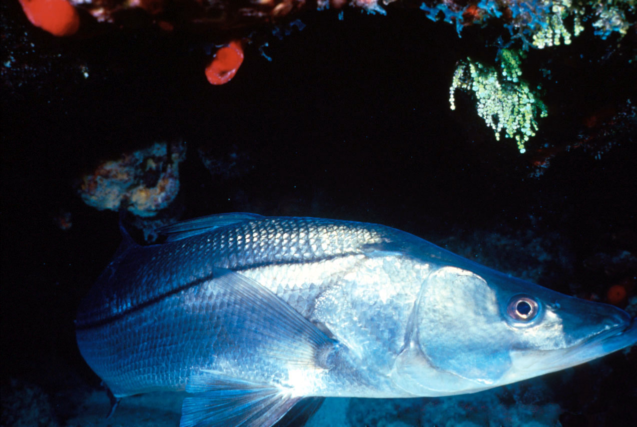

Live bait or swimbaits around mangroves, passes and bridge shadow lines. Best on moving water, especially outgoing tides at night around lights.
Next three days
| Day | Bite | Why |
|---|---|---|
| Sun, Sep 13 | 9 | New Moon feeding boost. Light wind. Storms possible, fish early and watch the sky |
| Mon, Sep 14 | 8 | Storms possible, fish early and watch the sky |
| Tue, Sep 15 | 7 | Rain likely 74%. Storms possible, fish early and watch the sky |
Seasonal pattern
Jan
Feb
Mar
Apr
May
Jun
Jul
Aug
Sep
Oct
Nov
Dec
Editorial baseline for Florida. Green months are prime, yellow fair, red slow. Preferred water temperature 70–85°F.
Regulations that apply here
Applies to: inland, state and adjacent federal waters · Licenses: Snook permit and recreational fishing license.
| Species / zone | Season | Size | Bag | Notes |
|---|---|---|---|---|
| Snook Southeast Region boundaryThe northern boundary is the Martin-Palm Beach county line and the region extends south to the Miami-Dade/Monroe county line. Includes all inland waters of the area colored yellow on the map. Includes all waters of Hillsboro Canal, Miami Canal, North New River Canal, and West Palm Beach Canal, and the Loxahatchee River and its tributaries. Does not include Lake Okeechobee and Everglades National Park. | open now Closed Season: December 15 – January 31, and June 1 – August 31 | Slot Limit: Not less than 28” or more than 32” total length | Bag Limit: One fish per person per day | Hook and line only No commercial harvest or sale of snook is permitted. Must remain in whole condition until landed ashore. When on a for-hire trip, captain and crew may not retain a bag limit. Special regulations apply for this species when fishing in Biscayne National Park. |
| Snook Indian River Lagoon Region boundaryThe northern coastal boundary is located at Lytle Avenue/South Causeway in New Smyrna Beach and the region extends south to the Martin-Palm Beach county line. Includes all inland waters of the area colored yellow on the map, and all waters of the Kissimmee River, Lake Okeechobee and other lakes identified on the map with blue hatch. Does not include the waters of Loxahatchee and St. Johns rivers and their tributaries. | open now Closed Season: December 15 – January 31, and June 1 – August 31 | Slot Limit: Not less than 28” or more than 32” total length | Bag Limit: One fish per person per day | Hook and line only No commercial harvest or sale of snook is permitted. Must remain in whole condition until landed ashore. When on a for-hire trip, captain and crew may not retain a bag limit. |
| Snook Northeast Region boundaryThe northern coastal boundary is located at the Florida-Georgia border and the region extends south to the Lytle Avenue/South Causeway in New Smyrna Beach. Includes all inland waters of the area colored yellow on the map, and the waters of the St. Johns River and its tributaries. Does not include the waters of the Withlacoochee and Kissimmee rivers, Cypress Lake, and lakes Hatchineha and Kissimmee. | open now Closed Season: December 15 – January 31, and June 1 – August 31 | Slot Limit: Not less than 28” or more than 32” total length | Bag Limit: One fish per person per day | Hook and line only No commercial harvest or sale of snook is permitted. Must remain in whole condition until landed ashore. When on a for-hire trip, captain and crew may not retain a bag limit. |
- No commercial harvest or sale of snook is permitted.
- Must remain in whole condition until landed ashore.
- When on a for-hire trip, captain and crew may not retain a bag limit.
- Allowable Gear: Hook and line only
- License Requirements: Snook permit and recreational fishing license.
- NOTE: Prior to purchasing a snook permit, check current regulations in the area you plan to fish. All sales are final. Refunds will not be given even if the species you plan to target is closed to harvest.
Source: FWC, extracted 2026-09-12.