 What's Biting FL
Boat ramp · saltwater · Southeast Florida
1938 Concrete Ramp
A public boat ramp in the Southeast Florida area. From here you can reach the waters covered by the Southeast Florida forecast, including Biscayne Bay, Government Cut, Haulover Inlet.
Directions in Google Maps 25.73105, -80.23302
- surface: concrete
- website: https://cgaviationhistory.org/1932-coast-guard-air-station-miami-established/
What to expect today
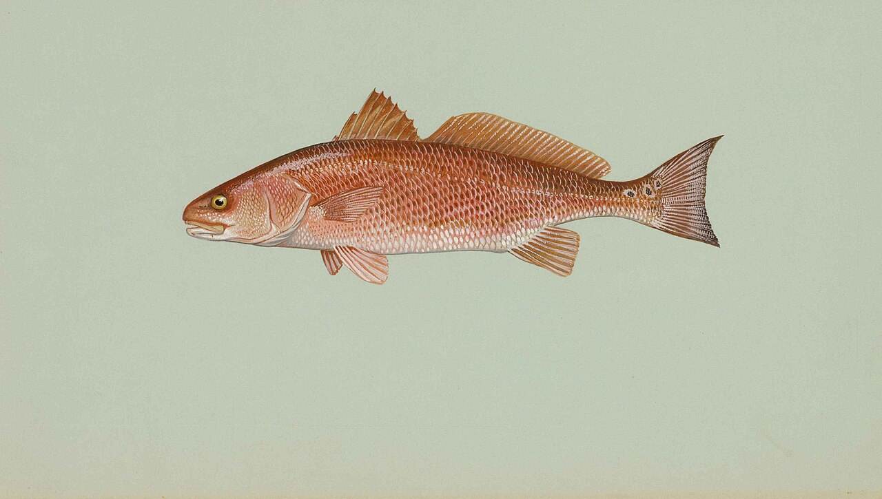
Redfish 9
Breezy 23 mph. Storms possible, fish early and watch the sky
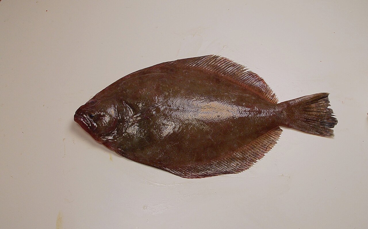
Flounder 9
Harvest closed here, catch and release.
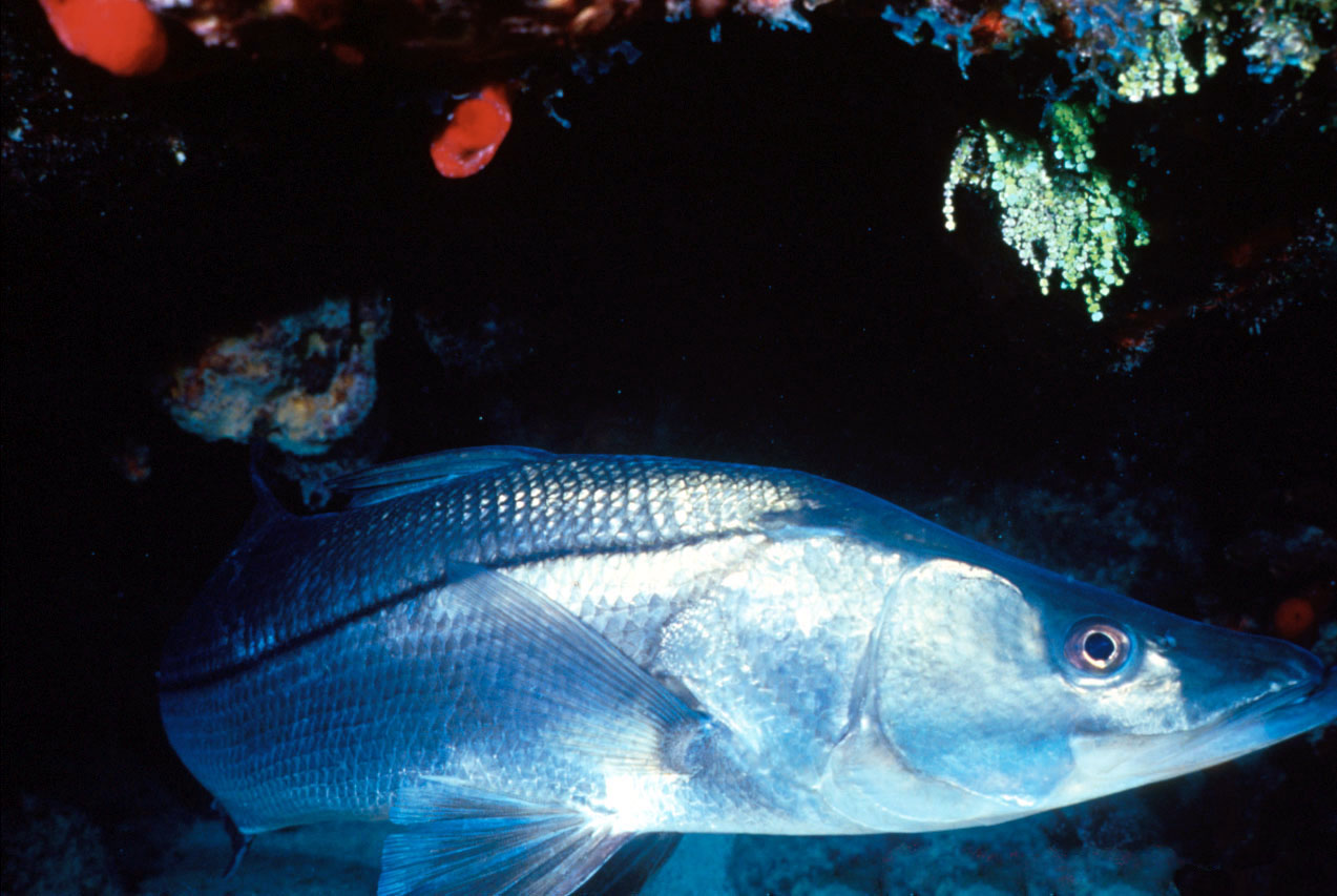
Snook 8
Breezy 23 mph. Storms possible, fish early and watch the sky
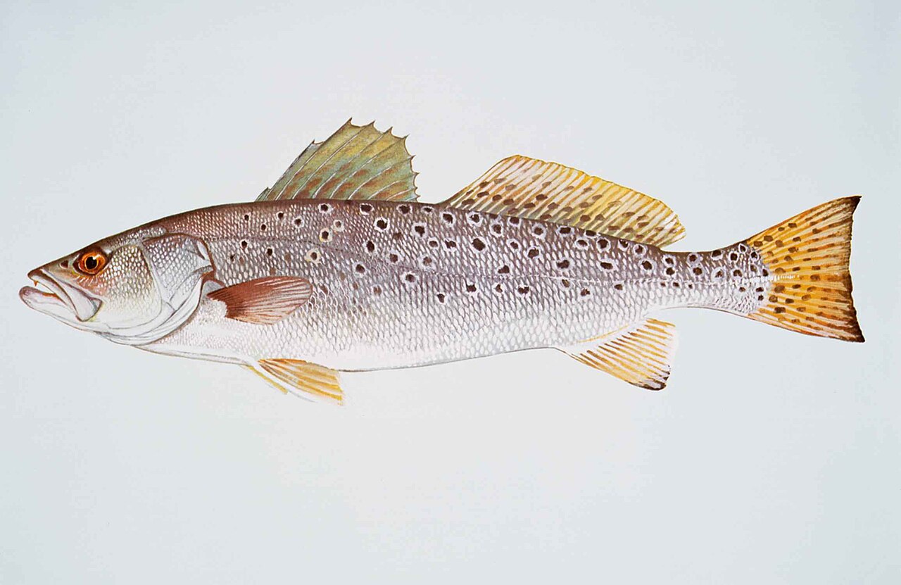
Spotted Seatrout 8
Breezy 23 mph. Storms possible, fish early and watch the sky
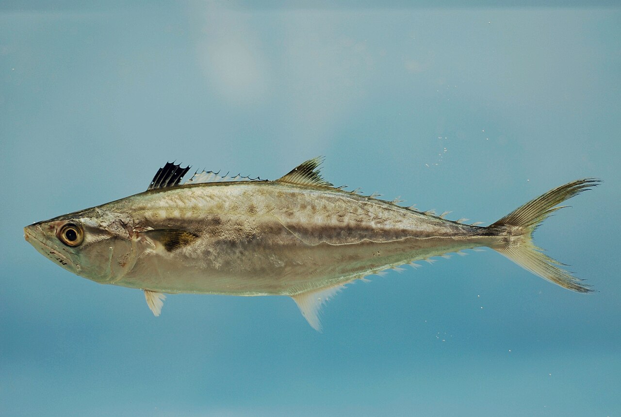
King Mackerel 8
Breezy 23 mph. Storms possible, fish early and watch the sky
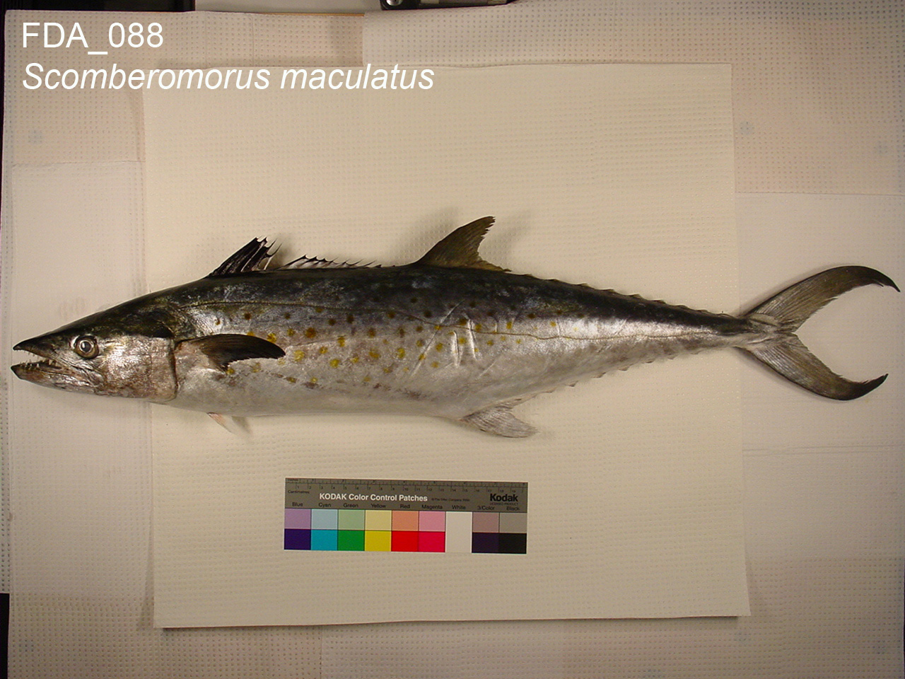
Spanish Mackerel 8
Breezy 23 mph. Storms possible, fish early and watch the sky
Nearby public spots
- Canoe/Kayak Launch (boat ramp)
- Fisher Island South Pier (fishing pier)
- Captain Planet Charters LLC (shore fishing spot)
- Pelican Harbor Boat Ramp (boat ramp)
- Larry and Penny Thompson Park Pier (fishing pier)
Location from OpenStreetMap contributors (ODbL). Access, hours and fees change; confirm before you go. Regulations apply everywhere: see rules by species.