 What's Biting FL
Boat ramp · saltwater · Panhandle
Canoe/Kayak Launch
A public boat ramp in the Panhandle area. From here you can reach the waters covered by the Panhandle forecast, including Pensacola Pass, Destin East Pass, St. Andrew Bay.
Directions in Google Maps 29.67897, -85.36438
- access: yes
- fee: no
- surface: unpaved
What to expect today
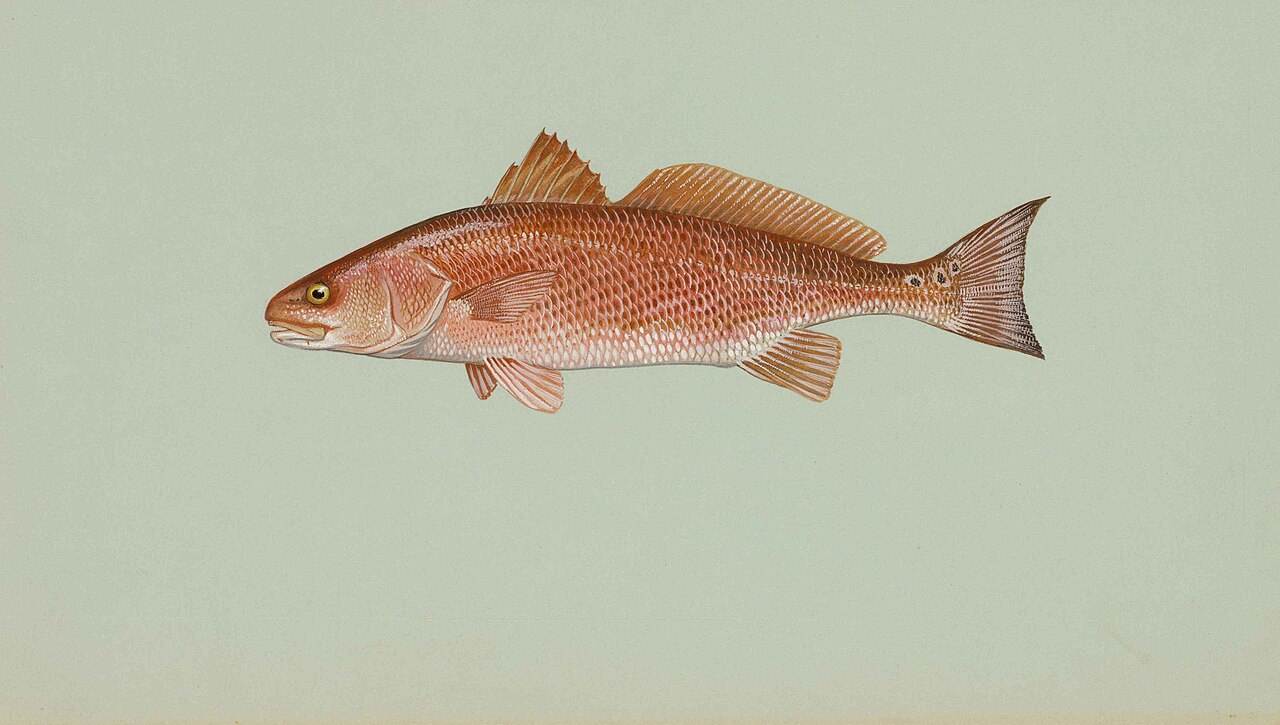
Redfish 10
Strong tide swing 2.4 ft
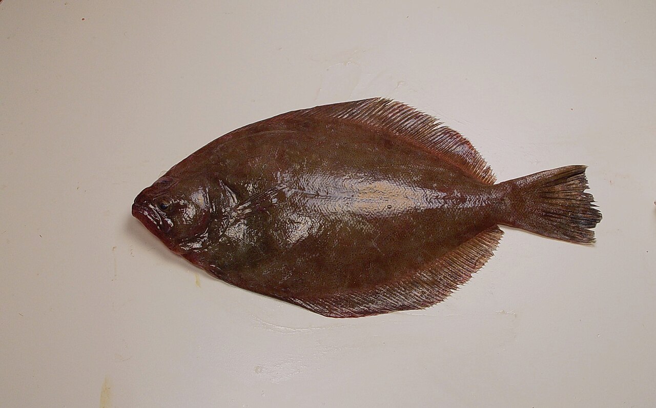
Flounder 10
Harvest closed here, catch and release.
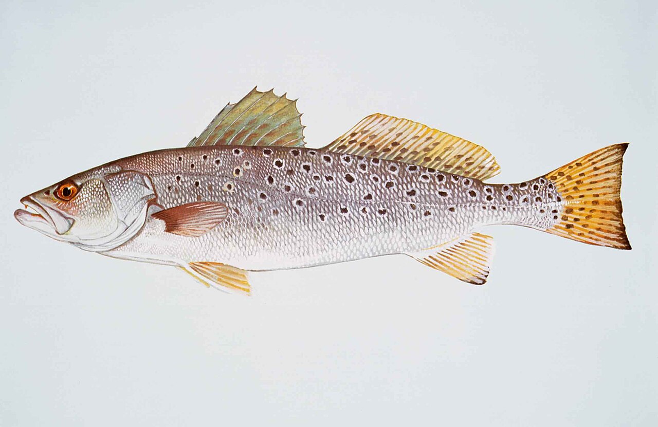
Spotted Seatrout 9
Strong tide swing 2.4 ft
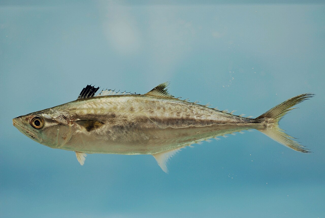
King Mackerel 9
Strong tide swing 2.4 ft
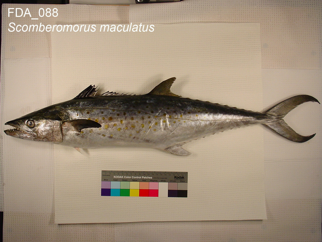
Spanish Mackerel 9
Strong tide swing 2.4 ft
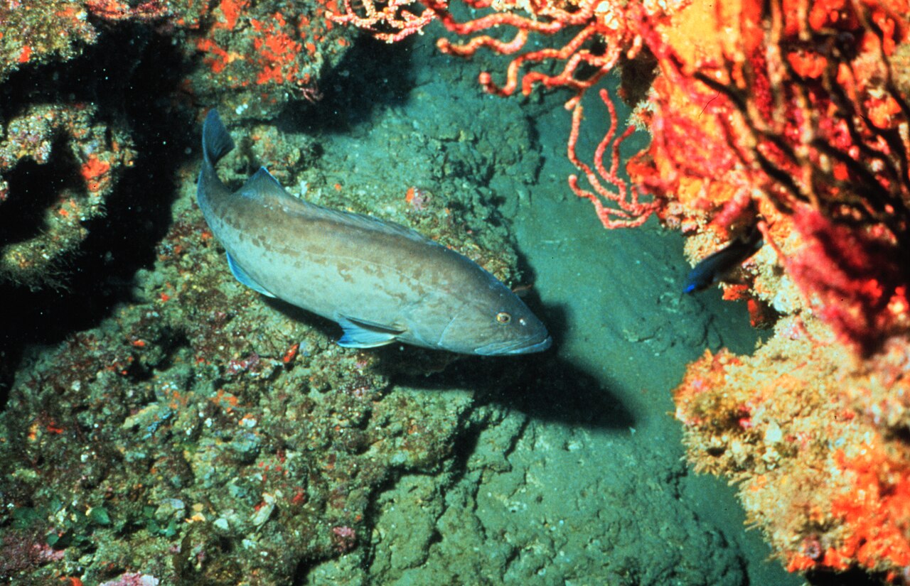
Gag Grouper 9
Harvest closed here, catch and release.
Nearby public spots
- Bay Bluff (shore fishing spot)
- Fish Cleaning Sink (shore fishing spot)
- Canoe/Kayak Launch (boat ramp)
- Highland View Boat Ramp (boat ramp)
- Mexico Beach Boat Ramp (boat ramp)
Location from OpenStreetMap contributors (ODbL). Access, hours and fees change; confirm before you go. Regulations apply everywhere: see rules by species.