 What's Biting FL
Fishing pier · saltwater · Panhandle
NOAA Pier
A public fishing pier in the Panhandle area. Piers put you over deeper water than the beach, so expect the passing schools first: mackerel, pompano and bluefish in season, sheepshead and drum on the pilings, and snook or snapper in the shadow line at night.
Directions in Google Maps 30.14891, -85.71259
What to expect today
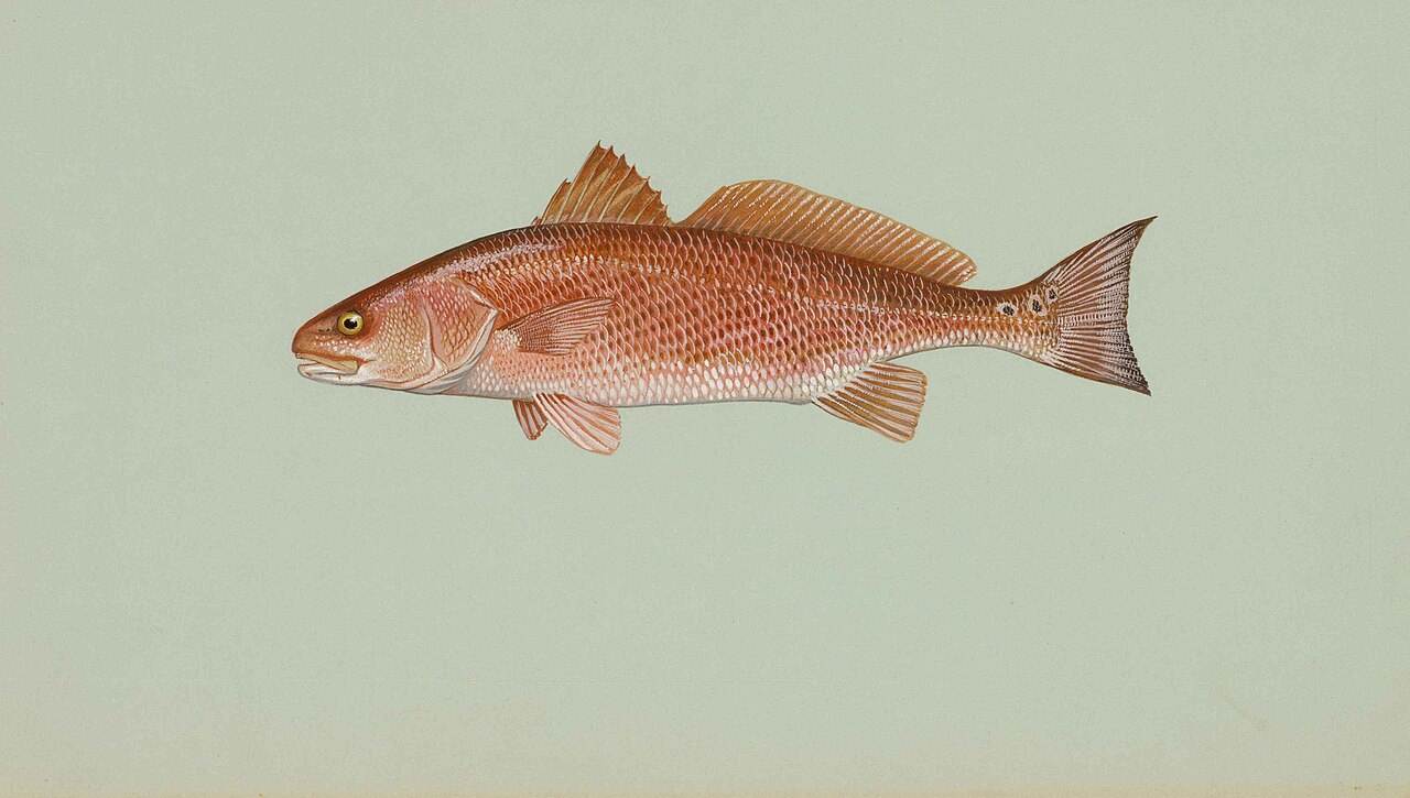
Redfish 10
Strong tide swing 2.4 ft
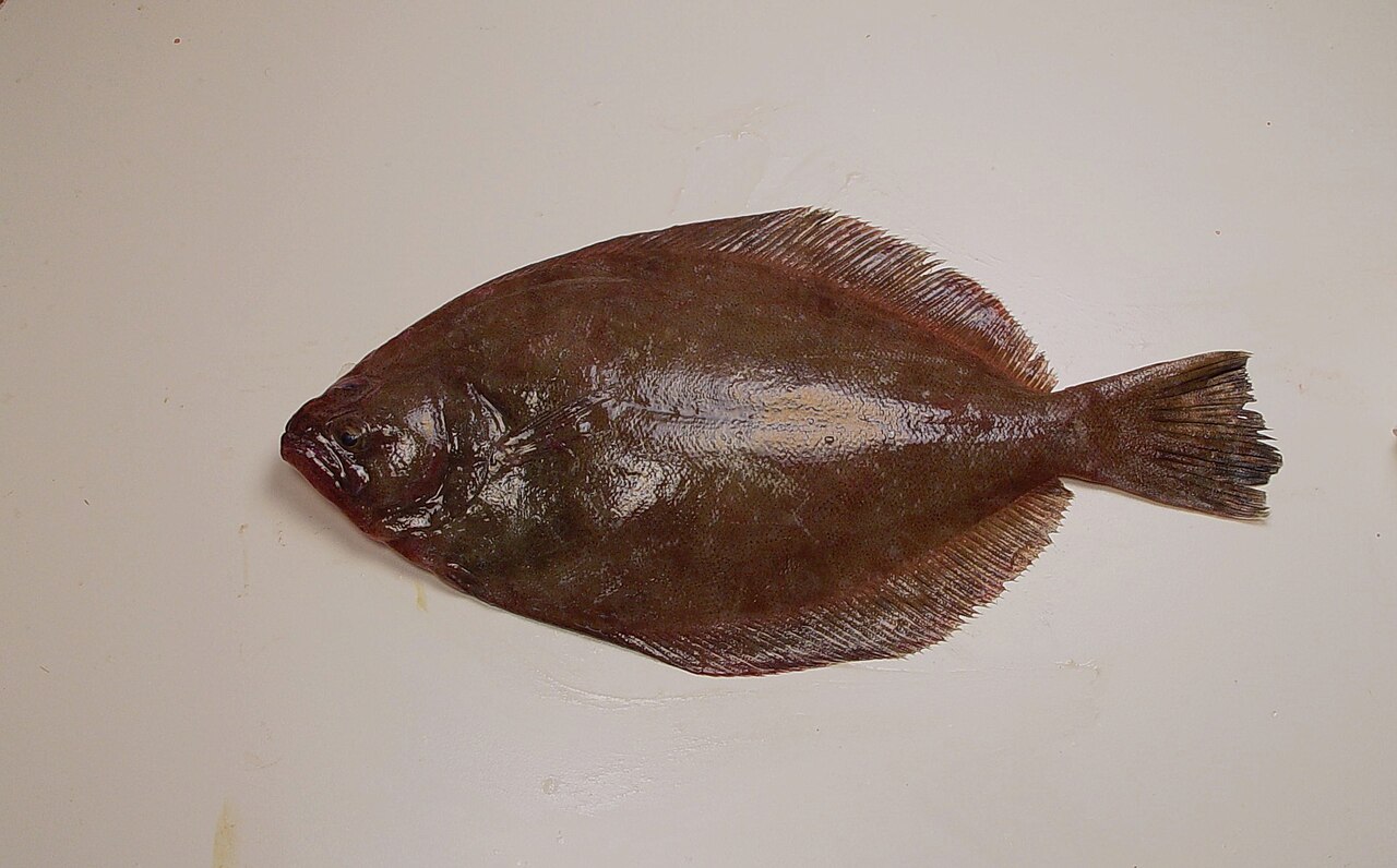
Flounder 10
Harvest closed here, catch and release.
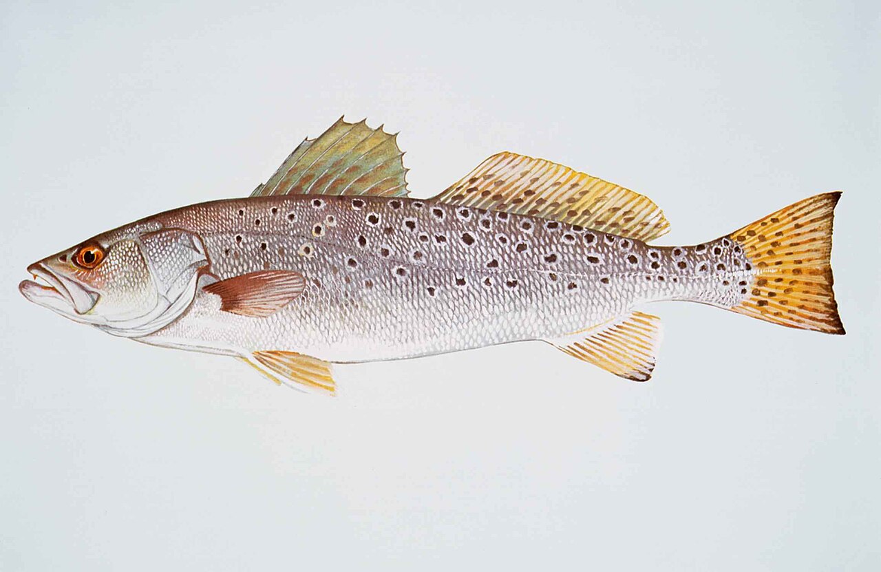
Spotted Seatrout 9
Strong tide swing 2.4 ft
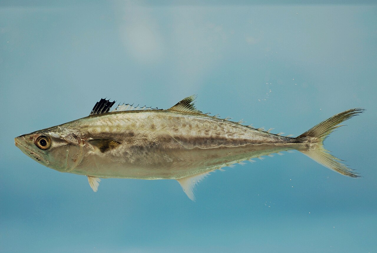
King Mackerel 9
Strong tide swing 2.4 ft
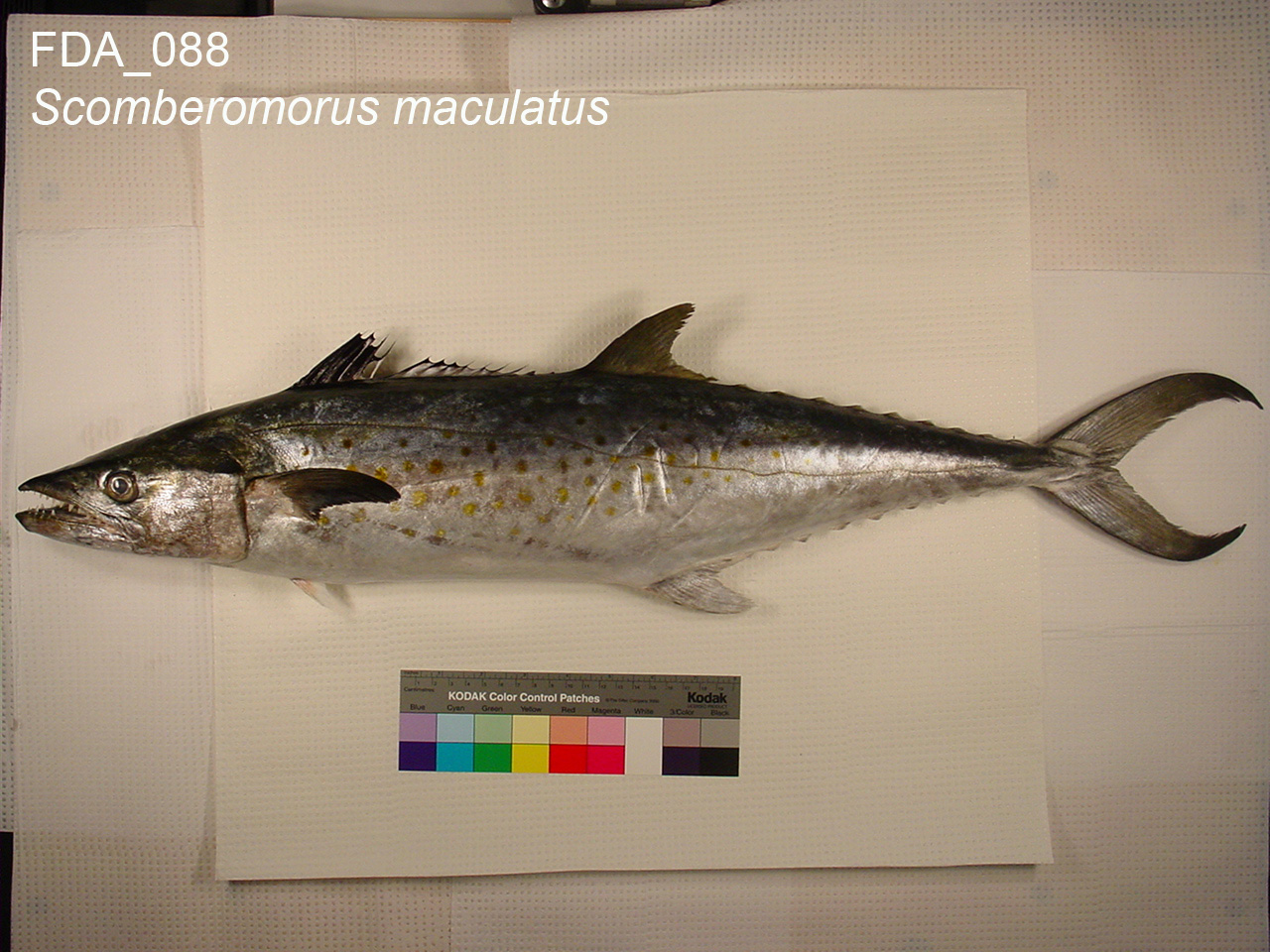
Spanish Mackerel 9
Strong tide swing 2.4 ft
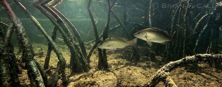
Mangrove Snapper 8
Strong tide swing 2.4 ft
Nearby public spots
- NOAA - NMFS (boat ramp)
- U.S. Coast Guard - Station Panama City (boat ramp)
- West Hathaway Bridge Boat Ramp (boat ramp)
- Pier C (fishing pier)
- Pier B (fishing pier)
Location from OpenStreetMap contributors (ODbL). Access, hours and fees change; confirm before you go. Regulations apply everywhere: see rules by species.